Before the Interstate: What a Coast-to-Coast Drive Actually Cost You in 1950
Before the Interstate: What a Coast-to-Coast Drive Actually Cost You in 1950
Imagine packing your car for a cross-country drive and genuinely not knowing how long it would take to get there. Not because of traffic. Not because of weather. But because the roads themselves were that unreliable.
That was the reality for anyone bold enough to drive from New York to Los Angeles in 1950. And plenty of Americans did it — but they did it knowing the journey would consume the better part of a month and test both the car and the driver in ways that are almost unimaginable today.
The Road Before the Road
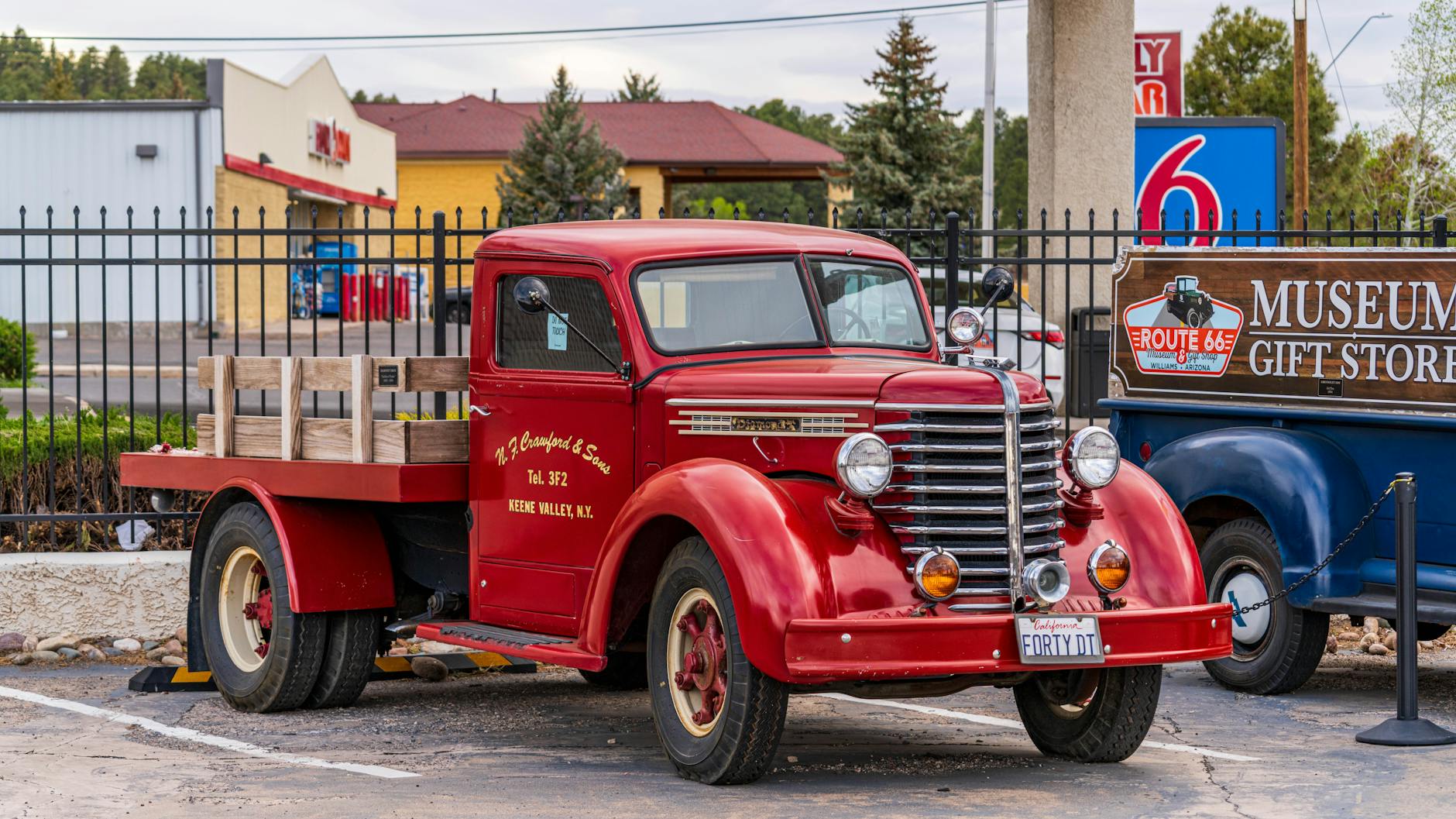
In the early 1950s, there was no Interstate Highway System. What existed instead was a patchwork of federal and state routes — most famously US Route 66 — stitched together from older roads that had been built, upgraded, and neglected at wildly different rates across different states.
Route 66 stretched roughly 2,400 miles from Chicago to Santa Monica, and while it had a romantic reputation even then, the reality of driving it was considerably less glamorous. Stretches of the road were unpaved, particularly through New Mexico and Arizona. Others were narrow two-lane affairs shared with farm equipment, livestock, and the occasional tractor moving at walking pace.
The average speed a driver could realistically maintain across the full journey hovered somewhere between 30 and 40 miles per hour — not because cars couldn't go faster, but because the roads made anything quicker genuinely dangerous. Potholes, loose gravel, and abrupt lane changes weren't inconveniences. They were just the road.
A coast-to-coast trip from New York took most drivers between 14 and 21 days, depending on the route chosen, the reliability of the vehicle, and how many times something went wrong along the way.
Finding Gas, Finding Food, Finding Your Way
One of the most striking differences between then and now was the sheer logistical effort required just to keep moving.
Gas stations existed, but they weren't the evenly spaced, brightly lit constants they are today. In rural stretches of the Southwest, a driver might travel 80 or 100 miles between reliable fuel stops. Running low on gas wasn't a minor stress — it was a genuine crisis. Experienced road-trippers carried spare fuel cans as a matter of course.
Navigation was done entirely by paper map, typically a folded AAA TripTik that a club representative had manually highlighted before the journey. There was no recalculating, no satellite signal, and no way to know in real time whether a road ahead was washed out or under repair. You found out when you got there.
Roadside motels existed along the major routes, but availability wasn't guaranteed, quality varied enormously, and in the South, Black travelers faced the additional burden of navigating segregated accommodations — relying on resources like the Green Book to find safe places to stop.
Breakdowns were common enough that most drivers had at least a working knowledge of basic mechanical repairs. A flat tire was routine. A failed water pump in the Arizona desert was a serious problem.
What the Highway Act Actually Changed
In 1956, President Eisenhower signed the Federal Aid Highway Act into law, authorizing the construction of 41,000 miles of controlled-access interstate highway. The project was partly inspired by Eisenhower's experience watching the German Autobahn during World War II and his frustration, years earlier, with a military convoy that had taken 62 days to cross the United States on existing roads.
The interstates that followed were a completely different proposition. Wide lanes. Gentle curves engineered for higher speeds. Grade separations that eliminated dangerous at-level crossings. Rest areas spaced at regular intervals. And, crucially, consistent pavement coast to coast.
The drive from New York to Los Angeles didn't just get faster — it became a different kind of activity entirely.
The Same Trip Today
Today, the standard cross-country drive from New York to Los Angeles runs about 2,800 miles via I-80 or I-40, and most drivers complete it in four to five days of comfortable travel — typically covering 500 to 600 miles per day without strain.
GPS navigation means route decisions happen in real time. Traffic incidents, road closures, and detours are flagged automatically. Gas stations appear every 20 to 30 miles in most parts of the country. Chain hotels offer consistent, predictable accommodation that can be booked from a phone before you leave your driveway.
The mental load of the journey has dropped dramatically. Where 1950s drivers were making constant logistical calculations just to stay on course and keep the car running, today's cross-country traveler can largely focus on the scenery.
A Journey Worth Appreciating
There's something genuinely worth pausing on here. The Interstate Highway System is so woven into the fabric of American life that most people never think about it — it's just the road. But it represented one of the largest public infrastructure investments in human history, and it fundamentally rewired how Americans moved, worked, and thought about distance.
The traveler who left New York in 1950 and the one who leaves today are both making the same journey across the same country. But in almost every practical sense, they're living in different worlds.
Sometimes the most profound changes are the ones hiding in plain sight — or in this case, right beneath your tires.